What Lives Here, and Why?
That's the question naturalists have always asked. Your Ecological Address tries to answer it for any place on Earth — assembling terrain, climate, ecoregion, vegetation, biodiversity, bird activity, and conservation status from fifteen scientific databases and citizen science platforms into a single field guide view. It's what a naturalist would tell you about your place if you had one standing next to you.
The AI-generated narratives take it further. Given structured ecological data — elevation, aspect, water balance, species lists — a language model can interpret relationships the way field guides always have: Why does this plant community grow on this slope? Which species are at the edge of their range? What does the seasonal pattern tell you about survival strategy here? The data is everything, and the context is so rich the prose just flows from it.
Where Two Ideas Meet
This work sits at the meeting point of two arguments that converge from opposite directions. From the field-station tradition documented in The Ecology of Place comes the claim that ecosystems are not interchangeable — that understanding any specific place ecologically requires sustained attention to its specifics, accumulated over decades by communities of researchers at long-term field sites. From Jack Dangermond's The Power of Where comes the claim that location is the fundamental organizing dimension of decisions, and that modern geographic infrastructure has finally made spatial knowledge composable at planetary scale.
Where those two ideas meet is the proposition that every coordinate on Earth has an ecological address — a unique signature of climate, geology, life, and stewardship that, until very recently, required a trained ecologist with months of access to specialized databases to assemble. The Macroscope engine collapses that latency. It builds the address in seconds, for any coordinate, drawing on more than twenty scientific databases and over a thousand curated places where decades of research have already enriched the public record.
We make it freely available because every decision about a place — a homeowner's planting choice, a watershed council's restoration priorities, a city's open-space plan, a science class's investigation — is better when the place is understood. Aggregated across millions of queries, the same system becomes a new kind of scientific instrument: a way to see ecological patterns at planetary scale that no individual address could show.
About Me
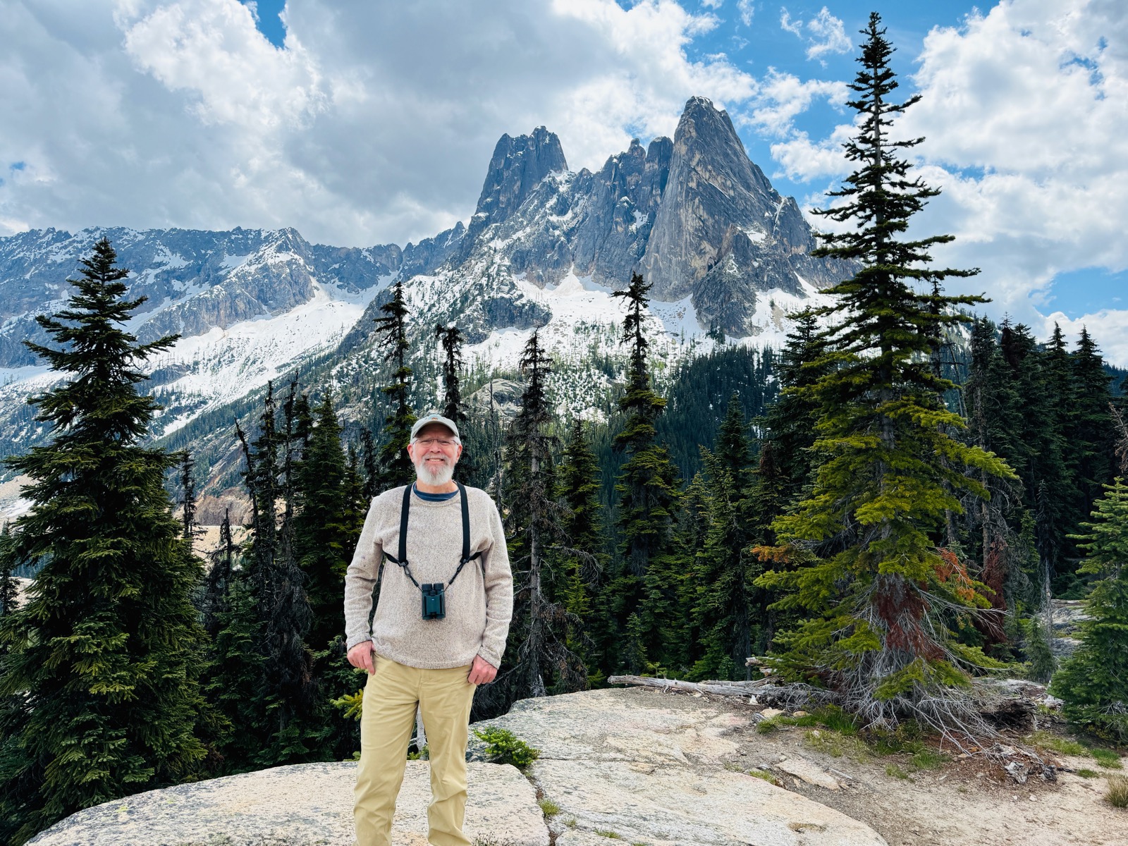
I'm Mike Hamilton — a retired biological field station director, lifelong eco-geek, and dedicated birder, botanist, and naturalist. I spent 36 years running UC field stations in the mountains of Southern California and the Diablo Range east of San Jose, which mostly meant watching landscapes carefully and helping other scientists do the same.
I grew up on Star Trek and always dreamed of having my own Tricorder — a device you could point at any landscape and it would tell you everything about what's there and why. Between YEA and all the environmental sensors I build at my home laboratory on the Willamette River in Oregon, I'm finally realizing that dream.
This is part of a larger project I call the Macroscope — an attempt to integrate ecological monitoring, AI, and visualization into something that helps me (and maybe you) see the world more clearly. The entire system was built collaboratively with Anthropic's Claude as a thinking partner.
Questions, ideas, or places I should try? Drop me a note on the contact page.
Yea! Earth!
— Mike